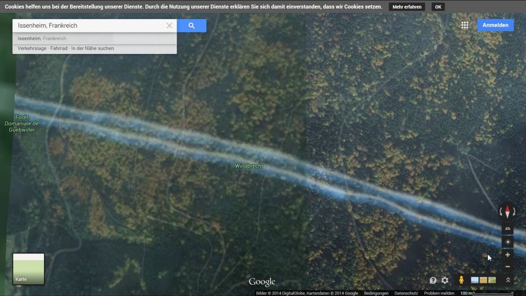
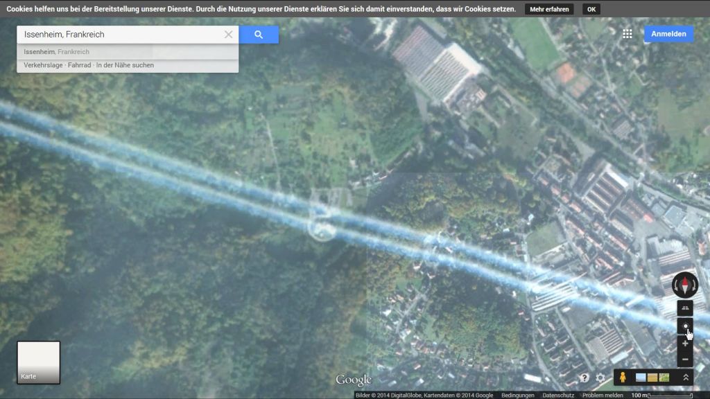
Google maps captures climate engineering from above
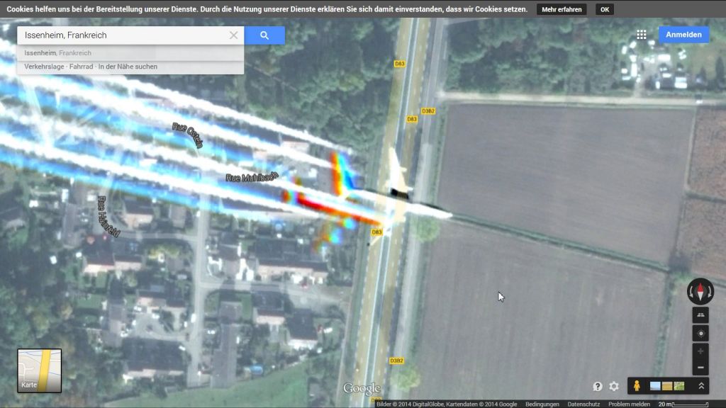
This is an interesting set of images presented in reverse order.
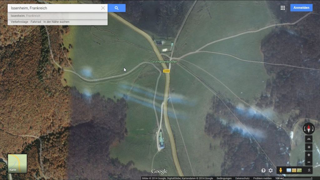
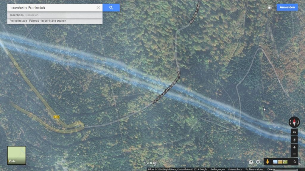
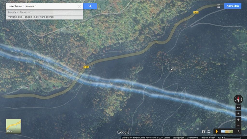
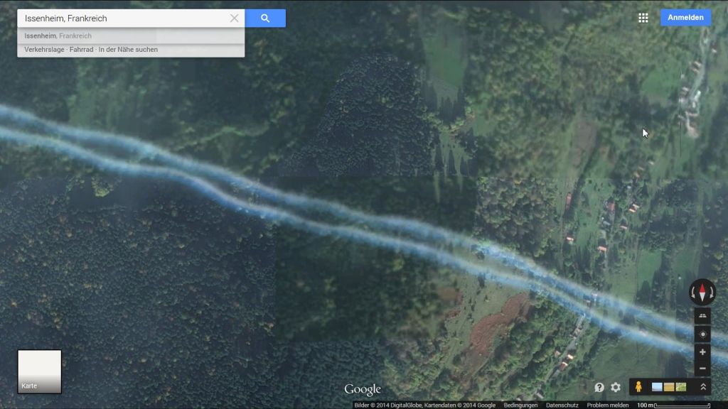
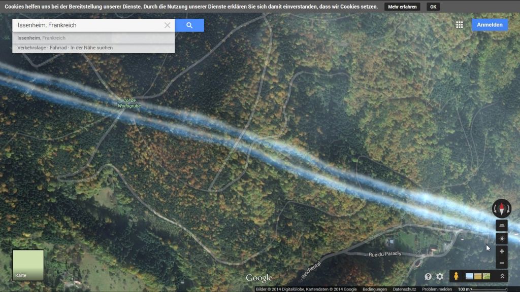
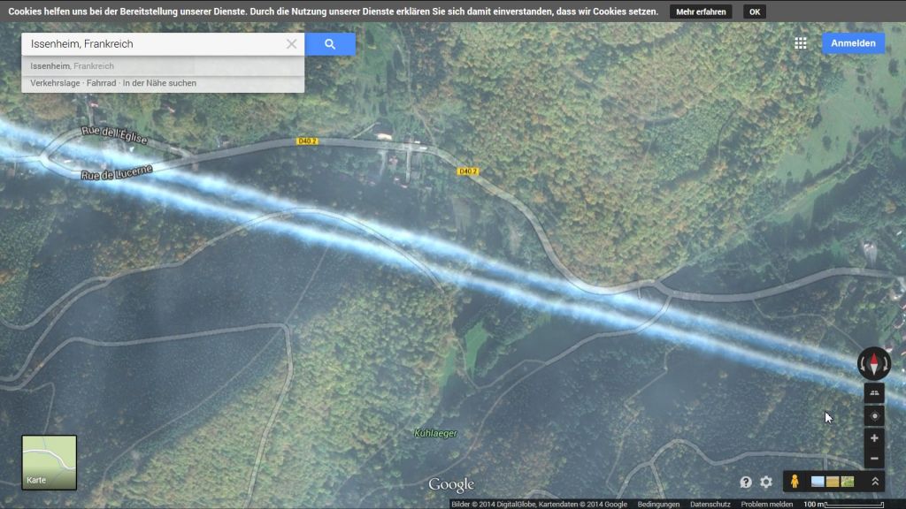
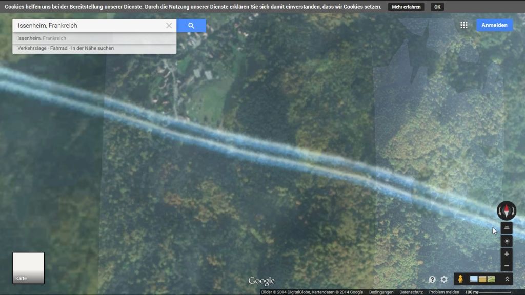
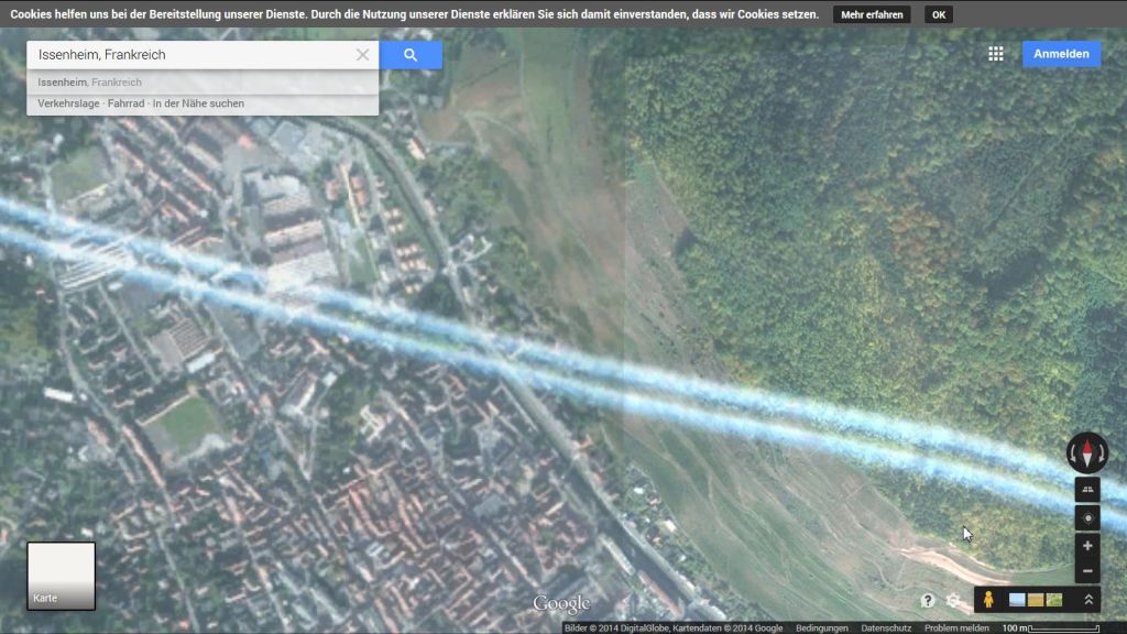
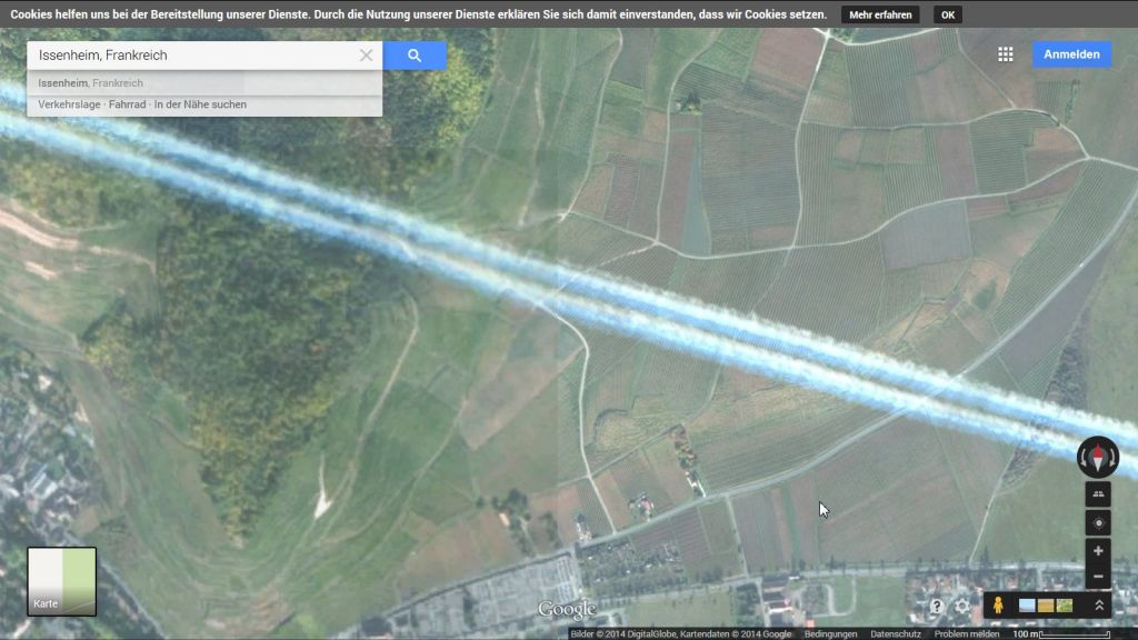
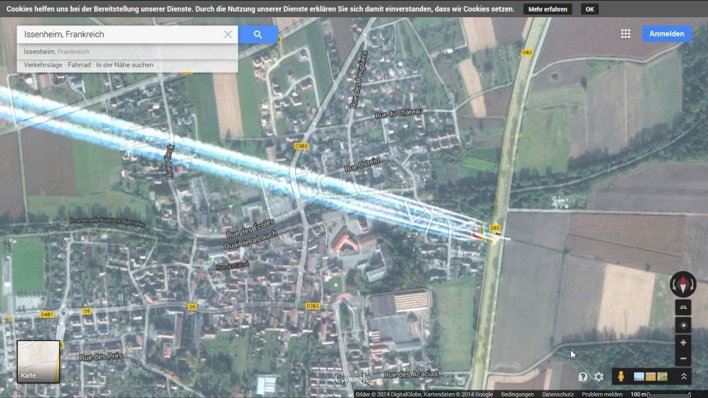
The notable thing about these images are that it shows clearly that this plane is a low altitude, and so should not be leaving any trail at all. We have not done the calculations, but someone could prove this very easily. At a guess we would estimate this plane to be no more than 20,000ft. It is also clear for the shape and pattern of the trails that this is not water vapour, but rather some form of substance being introduced into the exhaust.
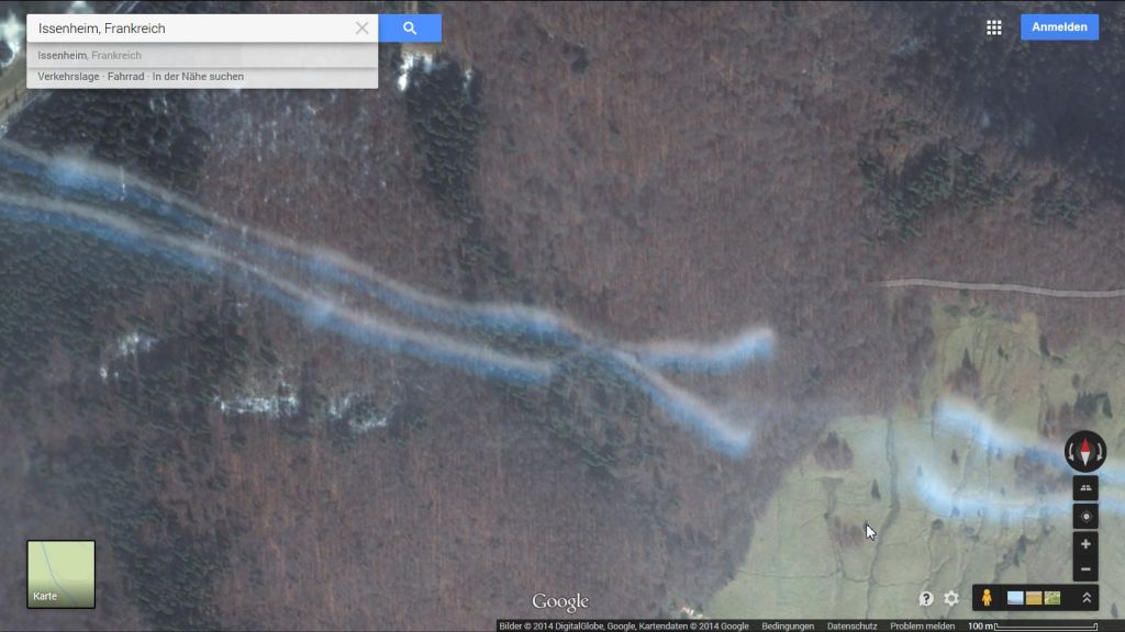
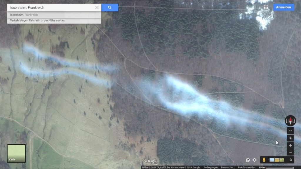
The trail shown here is one of the newer types that we terms barbed wire trail on account of the shapes it produces as it disperses in the atmosphere. our current theory about these trails is that they are designed to increase ground temperatures, and possibly also cause sunburn. We are not sure if the latter is just a convenient result of the mechanisms involved or part of the desired effect at this stage. We are hoping to do some research on this soon.
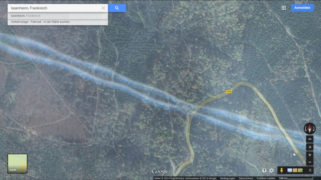
Some excitable people have suggested the final image is of some form of hologram. We suspect it is just the way the software deals with images. It might be the case that it is not used to dealing with images above ground level so it likely got confused and produced this anomaly. We do not think it is significant.